"I'm going to speak my mind because I have nothing to lose."--S.I. Hayakawa
_______________________________________________________
Showing posts with label ice fishing. Show all posts

Tuesday, January 10, 2012

True Life Rescue Dramas in Alaska

I took this photo the evening of Jan. 8.  Moonlight reflecting off the snow provided enough light.  Of course, the tripod that had been under my nose for months was now hiding where I'd "put it away" and I couldn't find it.

As a result, there's bit of a blur from a hand-held camera with bare hands at 5 below zero.


But this post isn't about me taking photos.  It's about some drama taking place right now in other parts of Alaska.

Closest to home is the tremendous snowfalls that continue to occur in Valdez and Cordova, towns that have their toes in the water of Prince William Sound and their backs against the mountains.  It isn't unusual for these two towns to have lots of snow.

What is unusual is for that snow to accumulate as quickly as it has in the last few weeks, one huge wet dump after another.  Valdez is used to coping with snow.  It averages more than 300 inches a year.  That's 25 feetm folks, and much of it stays until spring.  The record year was 560 inches.  That's 47 feet!

Cordova is used to lots of snow, too, but is getting plastered with wet, heavy snow, with some estimates of 10 feet in the last few weeks and 15 feet for this winter.

Last weekend's storm turned to rain and the existing snow soaked it up like a sponge, adding tremendous weight to snow on roofs.  Seventy men and women from the Alaska National Guard landed in Cordova a couple days ago to help the town dig out before more  roofs collapsed.  Now there's a shortage of snow shovels.  With none available from the big stores in Anchorage, town officials are looking to Outside stores for help.

Here's the address of reader-submitted photos from Valdez: http://www.adn.com/2012/01/06/2249732/january-valdez-snowstorm.html#id=2249729&view=large_view

And for photos from Cordova:

http://www.adn.com/2012/01/09/2254598/reader-photos-cordova-snow.html


There are some phenomenal photos there  Well worth the time to look.

Now, farther north:


Photo of Russian tanker Renda as published in Anchorage Daily News.  US Coast Guard photo.

The town of Nome, where the Iditarod sled dog race finishes on the western coast of Alaska, had to look outside the US for help in avoiding a fuel shortage.  Northern Alaska is suffering one of the worst cold spells in memory.  A ferocious storm last fall prevented  the last fuel barge of the season from reaching Nome, and the town was faced with the possibility of having to bring in heating oil and gasoline by air.

The probability of nine dollar a gallon fuel staring them in the face, Nome looked for help from an unusual source:  Russia.  Specifically, the oil tanker Renda.

Weeks of negotiations passed before the ship was given special exemption from the Jones Act, a law that prohibits foreign registered vessels from sailing from one US port to another US port.  This is why US cruise ships have to sail from Vancouver, Canada, to ports in Alaska.


The tanker picked up one million gallons of diesel fuel in South Korea, then sailed to Dutch Harbor in the Aleutian Chain of Alaska and on-loaded 300,000 gallons of gasoline.  A hundred miles out of Dutch Harbor, bound for Nome, the tanker had to return to Dutch Harbor for a mechanical repair.

Three hundred miles from Nome, the tanker encountered ice.  Now, with the US Coast Guard ice breaker Healy leading the way, the tanker is about a hundred miles from Nome.  It is making around 5mph through ice as thick as three feet.  The hope is that the two ships can make it all the way into Nome.  There is some concern that the tanker might have to unload by laying fuel lines across the last mile of ice.

Now today, the farther-north villages of  Noatak and Kobuk have run out of fuel.  If you go to either of the links I've posted, you can look around the Anchorage Daily News site and find those stories.

Here's a link to more stories and photos about this amazing journey:


http://www.adn.com/2012/01/10/2256355/fuel-tanker-icebreaker-make-progress.html

Take the time to check out both of these stories.   Just put on a heavy sweater or a jacket before you look at the photos.

As for me, another blizzard is whipping through the valley and I suspect that my neighbor's yard is free of snow because it's all over here in my driveway.  I can't tell if we're getting new snow or not with the wind whipping around the 18 inches of powder that fell in the last two snowstorms.  That's on top of the three feet of heavier snow that was already on the ground.

The last time I looked, there was a three-foot drift in front of my door.  I didn't even bother looking for today's newspaper.  I'm not leaving the house today.  Nowhere to go, anyway.  The Seward highway to Anchorage is closed because of zero visibility and avalanches.

Besides, I doubt I can get out of my own driveway.  If the wind settles down, I might go out and take pictures.  Don't count on it, though.

Saturday, January 22, 2011

Elbow Room


On this quiet Saturday afternoon, I parked the truck near the highway bridge that crosses the turquoise water of Kenai Lake. Armed with two cameras loaded with fresh batteries, I walked out onto the snowy bridge.


I had seen a familiar sight when I’d driven through here earlier, something that reminded me of an article I’d read about how big Alaska really is. I’ve had a difficult time wrapping my head around the facts in the article, but what was in the water below me seemed the perfect metaphor for those thoughts.

First though, before I tell you about that article, I need to boggle your mind with facts. Alaska consists of 571,951 square miles. It’s more than twice as big as Texas, and Alaskans like to threaten Texans with cutting our state into two states, thereby making Texas the third largest state.


Alaska is the northernmost, easternmost, and westernmost of the fifty states. I’m sure you get the northern and western parts, but Alaska’s Aleutian chain stretches so far west, it crosses the 180 degrees east longitude, thus arriving at the easternmost.. Were it not for the jog in the International Date Line, part of Alaska would be in tomorrow.

In that article I mentioned earlier, researchers at the National Oceanic and Atmospheric Administration, using satellite data, “added up all the concrete, paved roads, buildings and other manmade hard surfaces of the United States.” Guess what they found.


The area was larger than Ohio. However, wrote Ned Rozell, a science writer with the Geophysical Institute, University of Alaska Fairbanks, in an article published in the Anchorage Daily News, “That’s enough pavement, concrete and shingles to cover the combined area of Southeast Alaska and Kodiak Island.”


Think about that. Every bit of hard-surfaced ground in the contiguous forty-eight states, every outdoor basketball court, sidewalk, driveway, and mall parking lot, all of it—streets, highways, bridges, skyscrapers and eensy woodland cabins—would cover such a small part of Alaska we‘d hardly notice, especially because he covered up Southeast Alaska in his example.


Southeast is that little strip of coastal rainforest that keeps Canada from having a long western coastline. And Kodiak Island, while it grows the largest brown bears in the world, is an island not too far from me, and doesn’t even show up on most maps.


Those statistics don’t include the surfaced areas in Alaska and Hawaii. As usual, we weren’t considered. That’s why a lot of people think Alaska is a wee bitty state off the coast of Baja California because that’s where the cartographers usually put the inset box containing our state.


Despite the feelings of many of us old-timers who believe there’s getting to be just too danged many people up here, the state’s population of 698,000 means a density of 1.03 persons per square mile. Don’t overlook that point between 1 and 03. Of course, that isn’t the way it is, because more than half of the population lives in and around Anchorage, and Anchorage is way too close to where I live.


But this afternoon, as I snapped pictures from the bridge, I realized something: There’s room for all of us. Here, on a perfect Saturday afternoon in Cooper Landing with the temperature near thirty degrees, fishermen, swans, and ducks shared the wealth in perfect three part harmony.


Kenai Lake.
Note the red ice fishing shelter on the ice and the two trucks parked near the right shoreline.


This group of Trumpeter swans and their companion ducks are in the ripples at the top left in the previous photo.


On the other side of the bridge is Kenai River. The swans there are across from the fishermen in the reflection of the spruce trees.


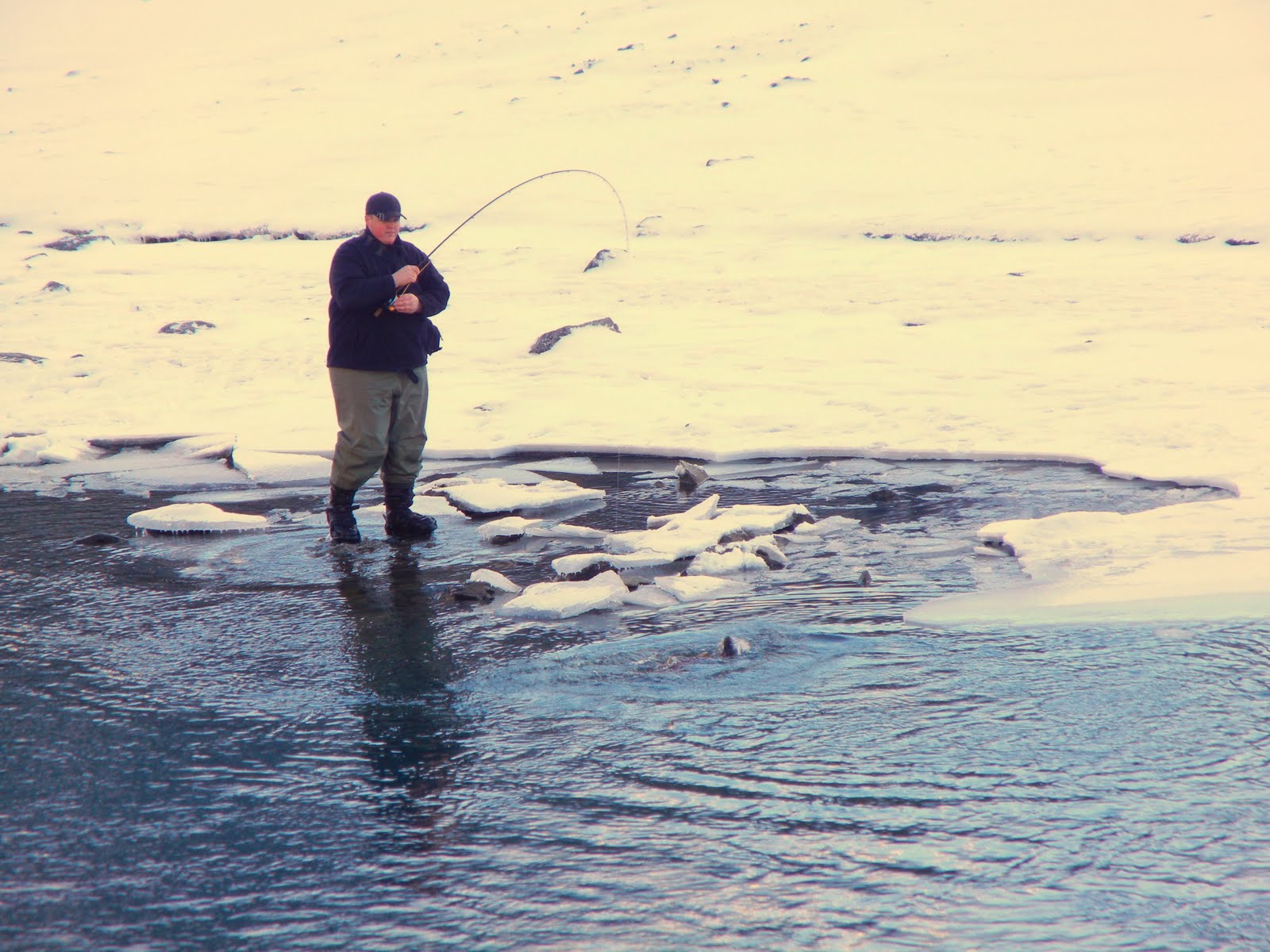
The black Labrador retriever watches as a fisherman carefully releases a silver salmon that is way past its prime.
Opposite side of the river. Note the vehicle parked on the ice, where more fishermen are trying their luck.


Catch and release. Another salmon, spawned out and waiting for the end of its life cycle.


A few lazy bends down-river, eagle eyes watched from panoramic vantage points for dinner to float past.